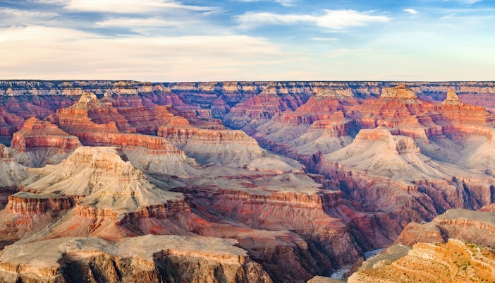
Your guide to hiking in Grand Canyon | Popular trails, sights & more
Popular hiking trails in the Grand Canyon | Easy, moderate, and difficult
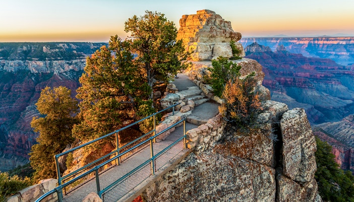
Bright Angel Point Trail
This is a quick and easy walking trail that is about 0.8 miles in length and takes approximately 30 minutes round-trip. The beginning point is the south side of the Grand Canyon Lodge, and the trail ends at Bright Angel Point, which is a great place to soak up the views of the Grand Canyon. This paved hiking trail is a good choice for those who want an introduction to hiking in the Grand Canyon.
- Location: North Rim
- Starting point: Grand Canyon Lodge | Find on Maps
- Difficulty level: Easy
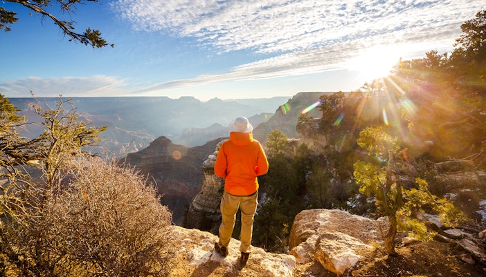
Rim Trail
The trail starts from South Kaibab Trailhead and moves west to Hermits Rest along an easy incline and lots of flat areas. Mostly paved, this trail is great for beginners and offers near-constant views of the canyon, with many viewpoints along the way. Usually, visitors only walk small sections of it at a time, as the trail length is around 13 miles. Many sections of the trail are wheelchair accessible.
- Location: South Rim
- Starting point: South Kaibab Trailhead | Find on Maps
- Difficulty level: Easy
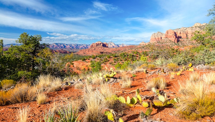
Transept Trail
Going from the Grand Canyon Lodge to the North Rim Campground, this beginner-friendly trail has a round-trip time of about 1.5 hours and is perfect for a day visit to the Grand Canyon. This is an above-rim trail, so it doesn't go below the rim of the canyon but lies along a side canyon called The Transept, located west of the Grand Canyon Lodge.
- Location: North Rim
- Starting point: Grand Canyon Lodge | Find on Maps
- Difficulty level: Easy
Bridle Trail
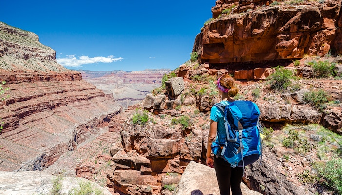
If you're visiting with pets, this is a fun activity that you can enjoy. The Bridle Trail is a hard-packed trail on which bicycles and leashed pets are allowed. The one-way distance is about 1.2 miles, so it's not very strenuous. The trail is situated above the rim and goes from Grand Canyon Lodge to the North Kaibab Trailhead.
- Location: North Rim
- Starting point: Grand Canyon Lodge | Find on Maps
- Difficulty level: Easy
Cape Royal Trail
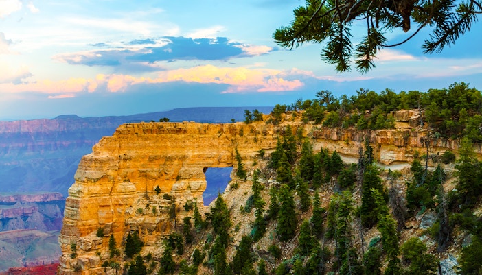
An easy, 30-minute round-trip trail, the Cape Royal Trail offers a great opportunity to those who are beginners at hiking in the Grand Canyon. Expect some spectacular views of the canyon, Angels Window, and the mighty Colorado River along this trail. As a bonus adventure, the trail has markers all along the way with information about the canyon's natural history. This is a paved trail with very little incline.
- Location: North Rim
- Starting point: Cape Royal Parking Area | Find on Maps
- Difficulty level: Easy
Cliff Springs Trail
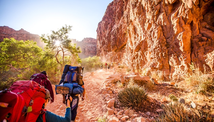
A short and sweet trail that is 1 mile in length, round trip, you can easily complete this in an hour or so. The path goes through a forested ravine and has a number of striking natural formations along the way. The spring, which gives the trail its name, is at the end of the trail, but the water may be contaminated, so visitors are advised not to drink from it. This trail is great for families and those who are hiking in the Grand Canyon for the first time.
- Location: North Rim
- Starting point: Cliff Springs Trailhead | Find on Maps
- Difficulty level: Easy
Roosevelt Point Trail
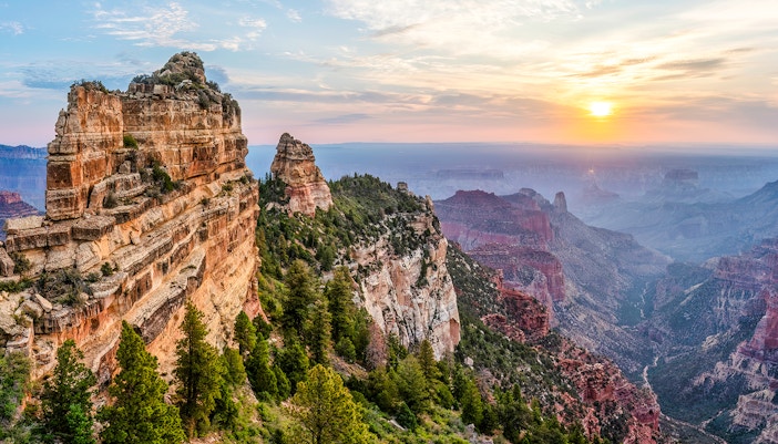
If you don't want the trip to be too hectic, take the Roosevelt Point Trail for a quick hiking experience at the Grand Canyon. It takes only about 20 minutes to do a round trip and offers amazing woodland and canyon views. There is plenty of shade, and the path is also quite flat and manageable. In fact, it's great for families with children or older members because there are benches along the trail so you can rest and enjoy the views from there.
- Location: North Rim
- Starting point: Cape Royal Rd | Find on Maps
- Difficulty level: Easy
Point Imperial Trail
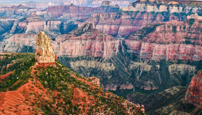
The unique feature of this trail is that you'll be able to see the areas that were damaged in the 2000 Outlet Fire when you take this trail. Taking about 2 hours for a round trip, this trail is also fairly beginner-friendly. When here, you can experience the eastern side of the Grand Canyon, especially the Painted Desert. Starting close to the parking lot at Point Imperial, the other end of the trail lies at the north park boundary, where it connects to the Nankoweap Trail and US Forest Service roads.
- Location: North Rim
- Starting point: Point Imperial | Find on Maps
- Difficulty level: Easy
Cape Final Trail
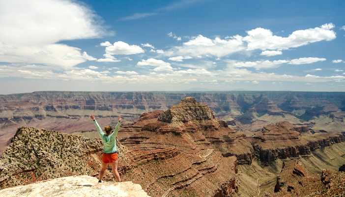
This heavily forested trail takes about 2-3 hours to finish and is approximately 4.2 miles long round trip. It gets its name from the final point of the trail, Cape Final, which is one of the most mesmerizing viewpoints of the North Rim. The pathway is relatively flat, so it's quite an easy trail for hikers. The canyon peaks out from within the forested terrain and gives visitors some truly unique views of the national park.
- Location: North Rim
- Starting point: Cape Royal Parking Area | Find on Maps
- Difficulty level: Easy
Bright Angel Trail
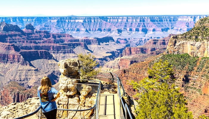
This maintained dirt trail begins near the Bright Angel Lodge and ends at the bottom of the canyon along the Colorado River. Visitors usually reach the Bright Angel Campground and Phantom Ranch by this trail. Water is available fairly regularly on the trail, but the winter months may show some scarcity. This is a steep hike. Visitors should be careful of the mules who also use this trail for transporting people and gear.
- Location: South Rim
- Starting point: Mule corral | Find on Maps
- Difficulty level: Moderate
South Kaibab Trail
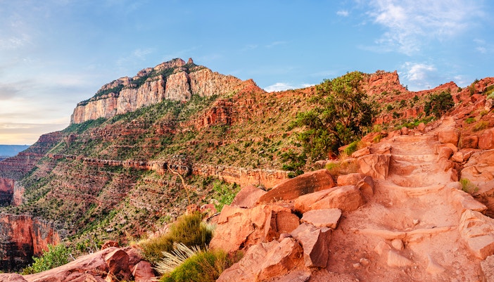
The South Kaibab Trail is a maintained dirt trail about 7.1 miles in length and starts from Near Yaki Point and ends at the Bright Angel Campground. However, it is recommended that hikers don't go past Skeleton Point on a day hike, which is located about 3 miles into the trail. This point gives breathtaking 360-degree views of the canyon and is popular among visitors as a day hike.
- Location: South Rim
- Starting point: Yaki Point | Find on Maps
- Difficulty level: Moderate
North Kaibab Trail
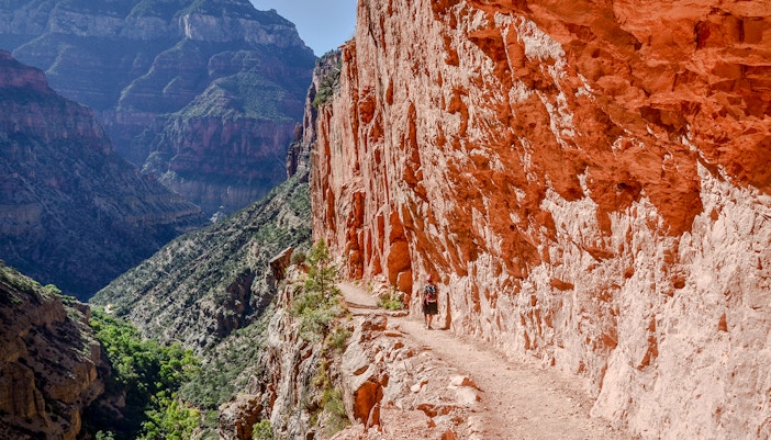
The North Kaibab Trail is the only maintained trail in the North Rim that goes into the Canyon, and it is about 14 miles long. The trail starts from Roaring Springs Canyon and goes through Supai Tunnel, Roaring Springs, Cottonwood Campground, and a number of other scenic spots to finally reach the Bright Angel Campground and the river beyond. It is best to turn back from Roaring Springs if you're on a day trip.
- Location: North Rim
- Starting point: North Kaibab Trailhead | Find on Maps
- Difficulty level: Moderate
Ken Patrick Trail
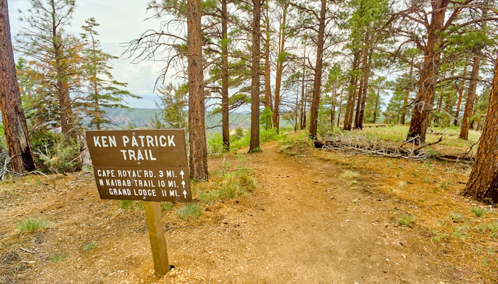
When taking the Ken Patrick Trail, it is best to stick to the section from Point Imperial to Cape Royal Road, as the rest of the trail has been damaged in recent times. This section takes about 2-3 hours to hike one way. If you want to see some variation in the scenery when hiking in the Grand Canyon, this is the trail for you as it goes along the rim, cuts through the forest before coming back out on the rim again.
- Location: North Rim
- Starting point: Point Imperial | Find on Maps
- Difficulty level: Moderate
Uncle Jim Trail
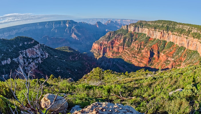
Accessed from the Ken Patrick Trail, the Uncle Jim Trail is actually a loop that has two strands reaching the same spot — a viewpoint which overlooks the canyon and North Kaibab Trail switchbacks. The round trip should take you about 3 hours, and the distance is 4.7 miles in total. This trail also has mules, so visitors should be careful while passing them.
- Location: North Rim
- Starting point: North Kaibab Trailhead | Find on Maps
- Difficulty level: Moderate
Widforss Trail
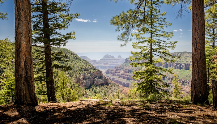
The Widforss Trailhead is close to the highway junction to Cape Royal and Point Imperial, and it ends at Widforss Point. The whole trail length is 9.6 miles round trip, but many hikers turn back at the 3-mile mark near the rim of the Transept Canyon if they want a quick and easy hike. This trail also has a nice variety of forest and canyon views, which often attracts guests to it.
- Location: North Rim
- Starting point: Widforss Trailhead | Find on Maps
- Difficulty level: Moderate
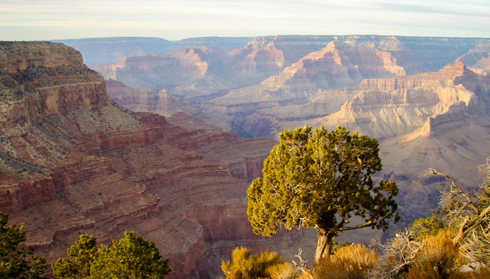
Hermit Trail
This is a rocky trail that was built in 1911 that starts near Hermit's Rest and goes through the Waldron Basin, Dripping Spring Trail Junction, Santa Maria Spring, Boucher Trail Junction, and Dripping Spring to reach the Colorado River at the Hermit Rapid. As a day trip, visitors usually stop at the Santa Maria Spring, as is recommended by the national park, but you can also stay overnight at the Hermit Creek campsite with a permit.
- Location: South Rim
- Starting point: Hermit's Rest | Find on Maps
- Difficulty level: Difficult
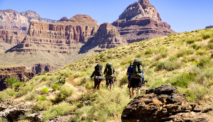
Grandview Trail
The Grandview trail is steep and treacherous, with low maintenance and tough conditions. Therefore, it is suited to more experienced desert hikers only. Originally constructed as a mining route in 1893, it has big steps and extreme pitches. Starting near Grandview Point, the trail goes through Coconino Saddle to reach Horseshoe Mesa, which has a campsite. The trail is around 7 miles across the circuit.
- Location: South Rim
- Starting point: Grandview Point | Find on Maps
- Difficulty level: Difficult
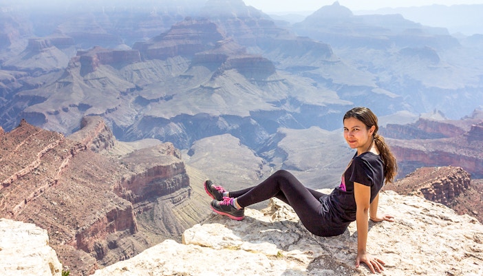
Arizona Trail
The Arizona Trail is a much larger 800-mile trail going from the Utah border to Mexico, a 10-mile section of which passes through the Grand Canyon National Park. In the North Rim, it enters at the North Entrance and runs along the highway before conjoining with the North Kaibab Trail. On the South Rim, it starts at the Grandview Lookout Tower and merges into the Greenway Trail.
- Location: North and South Rim
- Starting points:
North Entrance (North Rim) | Find on Maps
Grandview Lookout Tower (South Rim) | Find on Maps - Difficulty level: Difficult
When to go hiking in the Grand Canyon
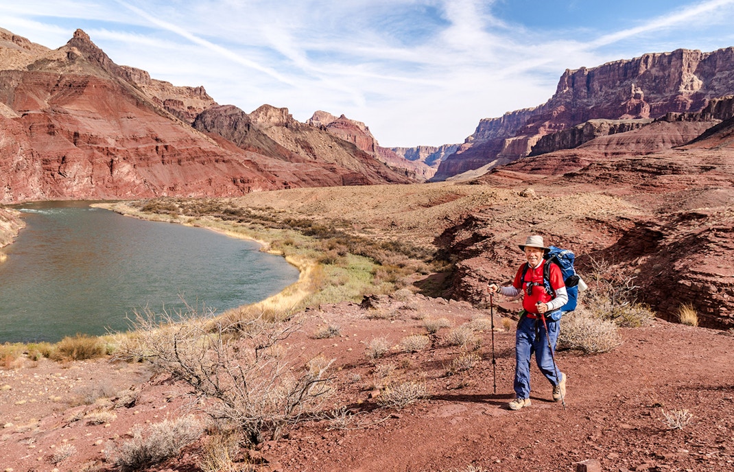
Summer
The summer months at the Grand Canyon are May through September. Although these months are generally hotter than the rest, temperatures may vary drastically in different parts of the canyon due to relative height, humidity, precipitation, and other variables. There are a number of microclimates throughout the canyon, so visitors have to be careful at all times. The South Rim can get extremely hot, with temperatures exceeding 100°F in some of the inner parts near the Colorado River. The North Rim, being higher in elevation than the South, has a more moderate temperature comparatively. If you want warmer temperatures but not excessive heat, April-May is your best bet.
Average temperature:
80°F in the day to 50°F at night (South Rim)
70°F in the day to 40°F at night (North Rim)
Winter
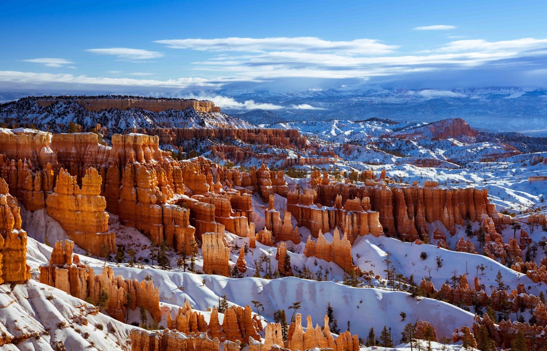
December through February are usually considered to be the winter months in the Grand Canyon. The North Rim is closed from December 1 to May 14, so there are no opportunities for recreational activities there in the winter. The South Rim is open all year round, so visitors can still go on hikes and walks along the trails. However, there are many hazards that hikers need to keep in mind, such as snow, mud, trail-ice, rockslides, wind, hypothermia, and others when hitting the trails in the winter. It is best to target September-October for your visit.
Average temperature:
40°F in the day to 20°F at night (South Rim)
40°F in the day to 10°F at night (North Rim)
Safety & precautionary measures to take for your hike
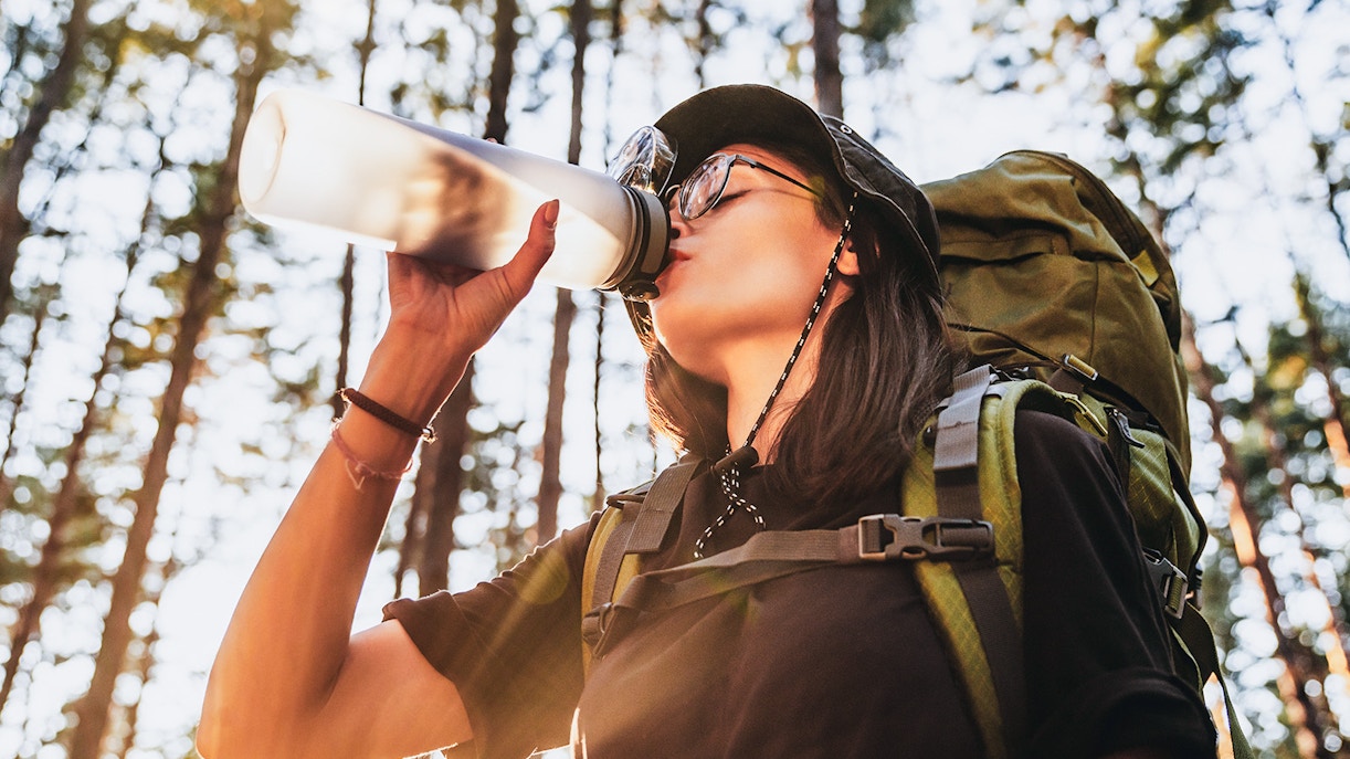
Although hiking in the Grand Canyon is an experience of a lifetime, you have to be careful and mindful when you visit, because hundreds of people need to be rescued each year. Here are some safety guidelines that will help keep you out of harm's way:
- Hydrate: Keep water handy as well as electrolyte solutions. There is limited water availability at the rest stops and visitor centres. All natural water gathered from springs and rivers must be treated before consumption.
- Bring food: Get salty snacks that are high in calories and can be munched on, such as chips, pretzels, etc. Take small snack breaks often and double your normal food intake.
- Have essentials at hand: A first aid kit, torches, maps, medicines, and such should be kept at hand for emergencies. You can also bring some basic gear like a whistle, knife, portable water filter, etc.
- Dress appropriately: Wear lightweight clothes and layers for flexibility. Carry a spare set. Wear sturdy hiking shoes. Waterproof clothing and shoes are a must during rainy or snowy conditions. Use hats, sunglasses, and sunscreen to protect your skin.
- Share information: Planning your hike in detail is very important. Once you're done, share the itinerary with someone. Ask them to keep a check on whether you're meeting your targets on the route. If not, they will be able to call rescue teams. This is especially important if you're hiking solo.
Book Grand Canyon tours
Frequently asked questions about hiking in the Grand Canyon
The Grand Canyon has an arid, desert terrain that can be hazardous to hikers. Exhaustion, dehydration, injuries, hypothermia, heatstroke, and such are common on the trails. You can even get lost or attacked by wildlife. Therefore, solo hiking is discouraged.
There are a number of parking lots near the hiking trails in the Grand Canyon. In fact, many of the trailheads have their own parking lot — Point Imperial Trail, Cape Final Trail, Cape Royal Trail, etc.
A few trails have toilet facilities at some point on the route. Bright Angel Trail and the South Kaibab Trail have a couple of facilities. Apart from that, visitor centres and some campgrounds have toilets. For the most part, hikers will need to make their own arrangements while following the rules.
Bright Angel Trail is the major trail with water stations on the route. North Kaibab Trail also has some water spots, but these may be seasonal. South Kaibab Trailhead has a water filling station as well. Please be aware that water stations are unreliable due to hazardous terrain.
Yes, kids can do most of the easy hiking trails, such as Bright Angel Point Trail, Rim Trail, Bridle Trail, Cape Royal Trail, Roosevelt Point Trail, and others. However, Bridle Trail and Roosevelt Point Trail are ideal.
Sections of a number of trails are wheelchair accessible because they are comparatively flat and paved. Rim Trail, Bright Angel Point Trail, Cape Royal Trail, and such are some good examples.
As long as you follow the rules and plan your trip well, even beginners can safely go hiking in the Grand Canyon without a guide. However, it is best to stay in a group, preferably with some experienced hikers.
Visitor centres should be able to provide you with maps for your hiking trips. The Grand Canyon Conservancy sells topographic maps. Overnight hikers get general maps with their permits.
It is unlikely that you will get phone connectivity when you go hiking in the Grand Canyon. Connectivity will only get worse as you go deeper.
The Grand Canyon has snakes and scorpions on its trails. Usually, snakebites don't happen often if you're aware of your surroundings and do not disturb the snake. Scorpion bites are more common because they are harder to see. Cold compresses and monitoring are required, although scorpion bites rarely become dangerous.
Only those visitors who intend to do overnight activities like camping, overnight horseback riding, or overnight hikes need a permit — the backcountry permit. Those doing day hikes do not need any permit.
There are a number of easy hikes that can be finished in under an hour, such as Bright Angel Point Trail, Cape Royal Trail, Roosevelt Point Trail, and others. However, it is best not to attempt to hike in the canyon when pregnant because facilities such as toilets and water stations are scarce.
Day hikes usually take about 4-5 hours round-trip. There are ones that take less time, but it is best not to hike more than 8 hours a day.
Technically, you are free to do that, but it is best to rest well before and after a hike.

